Extensively compiled collected information about the D&D World of Mystara with Personally created additions
Thursday, 17 November 2016
Monday, 7 November 2016
Glantrian/Darokinian Map sections

As the Broken Lands 1-mile-hex-map-eastern-half and the Western halves(yes Halves!!.. both and before Meteor Impact) , reaches its final end, the border regions of Other nations covered in this map have to have their details displayed too
As thus here a list of the sections covered by the map. Each Link will give information and the map accompanying it, and maybe some additional links.
Glantri
Free Province of Nyra
http://6inchnails.deviantart.com/art/free-province-of-Nyra-Glantri-642816199Trintan
With updated map
http://6inchnails.deviantart.com/art/Trintan-Updated-619703492
Erewan, Principality of Glantri
Erendyl as created by MickyBelcadiz, Principality of Glantri
http://6inchnails.deviantart.com/art/Southern-Belcadiz-615326620Most of the country is displayed, except the most norther part, which fell just beyond the border of the Broken Lands 1 mile map.
De Glace, Free Province of Glantri
Hightower, Principality of Glantri
http://6inchnails.deviantart.com/art/De-Glace-and-High-Tower-1-mile-hex-615326279Wylon
http://6inchnails.deviantart.com/art/Wylon-616164744
Blackhill
http://6inchnails.deviantart.com/art/Blackhill-aka-New-Blackhill-615327321Darokin
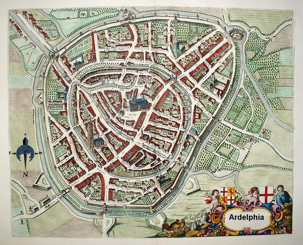
Ardelphia
Ardelphia city
The Following to this will be added later but aren't finished yet. So keep an eye open!!
Soth-Kabree
Nathrat
Ritternour
Satolas
Eastern section of Caurenze and the region between Caurenze and Blackhill
Subscribe to:
Comments (Atom)


